
Kosi and Bagmati Rivers’ Water Levels Stabilize but Still Above Danger Mark
- The water level of the Kosi-Bagmati rivers has become stable, although they are still flowing well above the danger mark.
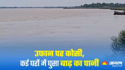
- Kosi river was recorded at 1.35 meters above the danger mark at Baltara in Khagaria.
Kosi River’s Water Level Decreased in 24 Hours
- Bagmati river near Santosh Sluice is 2.17 meters above the danger mark.
- In the span of 24 hours, the water level of Kosi decreased by 18 centimeters, from 53.20 meters to 35.38 meters in Khagaria.
- The water level of Bagmati also decreased by 13 centimeters in 24 hours, from 37.93 meters to 37.80 meters.
- The water levels of Budhi Gandak and Ganga rivers remain stable, with Budhi Gandak recorded at 36.33 meters.
Ganga River Flowing Below Danger Mark
- Budhi Gandak river is 27 centimeters below the danger mark, while Ganga river is 18 centimeters below the danger mark at 33.89 meters.
- Kosi and Bagmati areas are experiencing a flood situation due to the rise in water levels.
The flood waters of Bagmati have caused flooding in Hiyadpur village, cutting off road connectivity to the panchayat headquarters. The village is situated inside the KB embankment under Amani Panchayat of Mansi block. Water levels have also entered houses in North Boharwa of Alauli block. Erosion of Bagmati river is occurring in this area from the east, and water has entered several shops in Dumri Ghat.