
Bihar has launched a major study for green fodder mapping across all 38 districts to boost the dairy sector. This initiative is a joint effort between the Bihar State Milk Co-operative Federation (COMFED), the National Dairy Development Board (NDDB), and the Indian Space Research Organisation (ISRO). The program aims to use space technology to improve the lives of dairy farmers by providing accurate data on fodder crops and their availability.
How will green fodder mapping help Bihar farmers?
Feeding animals accounts for nearly 70 percent of the total cost in milk production. This new study will help in mapping the area and variety of fodder crops available in the state. By knowing exactly where fodder is grown, the government can create better policies to help farmers. COMFED Managing Director Sameer Saurabh stated that this initiative will help control production costs and increase the profit margins for cattle rearers across the state.
What is the role of ISRO and satellite technology?
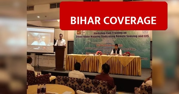
A training workshop was organized in Patna on April 6, 2026, to explain the use of Remote Sensing and GIS (Geographic Information System) technology. This technology allows the government to collect data through satellite imagery for better accuracy. Key details include:
- Participants: Officials from COMFED, NDDB, and ISRO participated in the training program.
- Technology: Use of Remote Sensing and GIS based mapping for data collection.
- Management: The project focuses on data-driven strategies to ensure sustainable growth in the dairy industry.
- Objective: To make milk production more profitable by managing fodder resources scientifically.
Secretary of the Dairy and Animal Resources Department, Sheetal Kapil Ashok, mentioned that using scientific and technical methods is essential to make Bihar a leader in milk production. The project will help in identifying the specific needs of different regions in the state regarding animal feed.